Advanced Maps
Turn Obsidian's Maps view into a photo album and a route map, or use it to see the notes connected to the one you're reading.
Advanced Maps adds photo albums, linked tracks and areas, Around views, map navigation, and coordinate tools to Obsidian’s Maps view. Start with Getting started — it ends with a Base you can copy — then use the pages below as recipes and reference.
Choose a workflow
Section titled “Choose a workflow”Getting startedInstall the plugin and make my first map
Marker icons and colorsGive each note its own marker icon and color, or drive both from a formula
Photo mapsMap a photo folder or the photos linked from notes
Tracks and areasDraw GPX, GeoJSON, KML, TCX, areas, or inline route statistics
Around and navigationMap the notes connected to this one, open notes in a Base, follow the active note, or measure a distance
Places in and outBring a file of saved places into notes, or take a Base's places back out
Offline basemapDraw the map background from tile packs already on disk, picked from the map, with no network at all
Coordinates and servicesLine up a Chinese basemap, parse map links, search places, or open another map app
Reference and privacyCheck supported files, option ownership, privacy, operational limits, or attribution
Common questionsFind out why a map is empty, why a note shows two maps, or where a command went
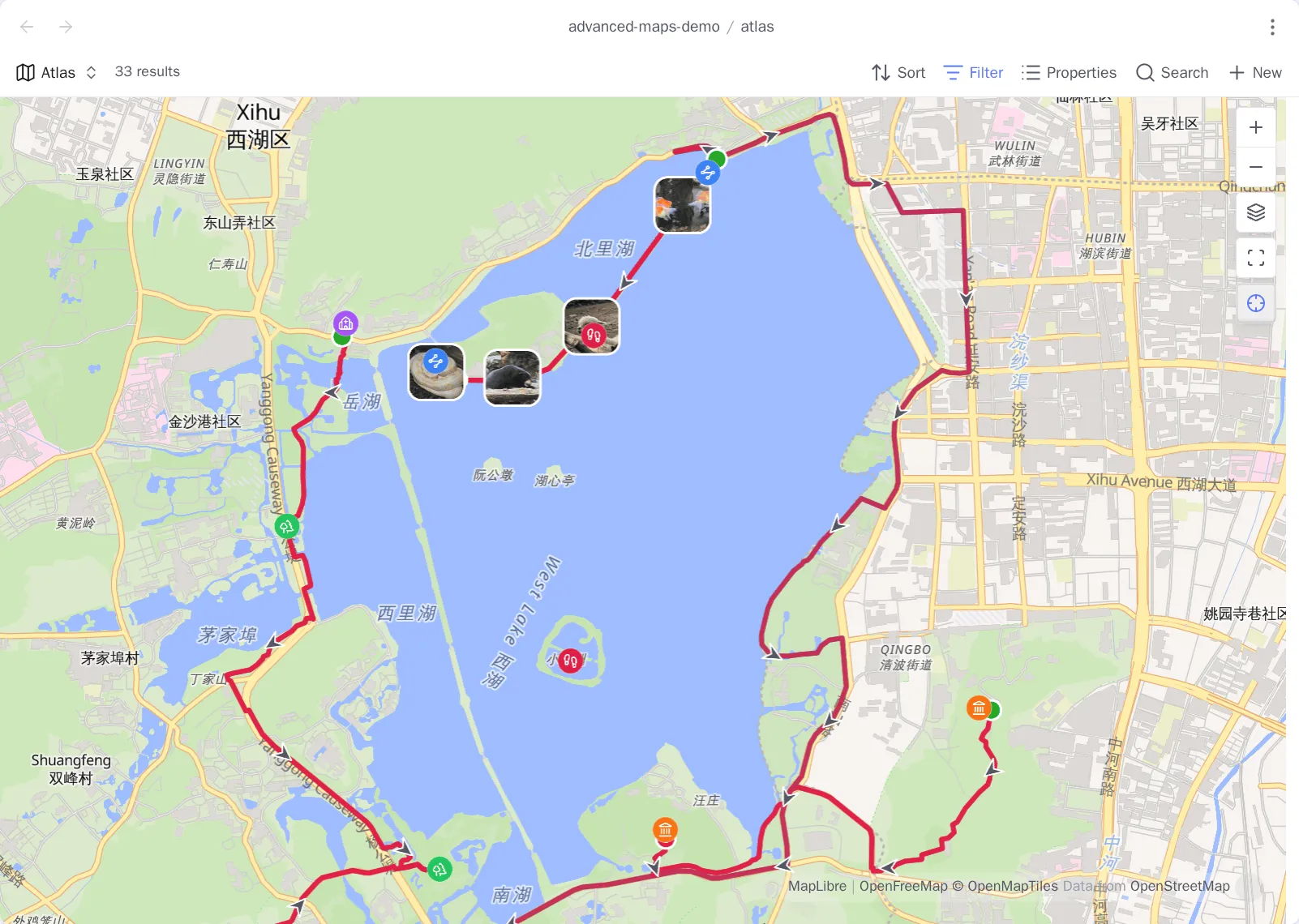
The workflows compose. A single Base can show place notes, a multi-day route, and every geotagged photo along it.
Maintainer documentation
Section titled “Maintainer documentation”What the plugin does belongs in this guide. See CONTRIBUTING.md for setup and pull-request workflow, OpenSpec capabilities for stable technical contracts, CHANGELOG.md for released behavior, and ROADMAP.md for possible future work.