Photo maps
There are two ways to put photos on a map: point your Base at a photo folder, or leave the folder out and map the photos your notes link to. Either way a photo gets a marker only when it carries a location — EXIF, the location data a camera stores inside the photo. A photo without one is left out; no location is ever invented for it.
Map a whole photo folder
Section titled “Map a whole photo folder”Start from the complete album recipe in Getting started, or add a photo-folder branch to a Base you already have. A Base is an Obsidian file that collects the notes and files you filter for and shows them as a table or a map.
- file.inFolder("assets/onedrive/Pictures")JPG, JPEG, PNG, WebP, HEIC, HEIF, and AVIF files work. A photo with a location gets a dot even when it has no usable embedded thumbnail.
Put a OneDrive or other external album inside the vault
Section titled “Put a OneDrive or other external album inside the vault”The photos do not have to be copied into the vault. Make a directory link inside the vault, let Obsidian index it, then use that vault path in the Base filter.
macOS or Linux:
mkdir -p "/path/to/MyVault/assets/onedrive"ln -s "/path/to/OneDrive/Pictures" "/path/to/MyVault/assets/onedrive/Pictures"Windows PowerShell (a directory junction avoids the administrator rights a symbolic link can need on some systems):
$vault = "C:\Users\you\Documents\MyVault"New-Item -ItemType Directory -Force -Path "$vault\assets\onedrive"New-Item -ItemType Junction ` -Path "$vault\assets\onedrive\Pictures" ` -Target "$env:USERPROFILE\OneDrive\Pictures"Reload the vault, then use the linked vault path in the Base.
Map only the photos your notes link to
Section titled “Map only the photos your notes link to”Keep photo folders out of the Base filter and match notes only:
filters: and: - file.inFolder("places")views: - type: map name: Places coordinates: coords trackWeight: 4 trackOpacity: 85 fitMaxZoom: 16Then link photos from a matched note:
---coords: 30.2600,120.1500---
[[IMG_1234.jpg]][[IMG_1235.heic]]
Ordinary body links, embeds such as ![[IMG_1234.jpg]], and file links in the
note’s frontmatter — the properties block at the top of the note — all count.
Each photo appears once. The Base does not need to include the attachment
folder, and you need a real embed only when you also want the image visible in
the note.
Link single photos outside the vault
Section titled “Link single photos outside the vault”An inline Markdown file: destination can name a supported photo that Obsidian
does not index. A plain link puts it on the map without showing it in the note;
add ! to ask Obsidian to show it there too. Both count for the map, though an
external embed does not display on every platform:
[desktop photo](<file:///G:\My Drive\Camera\P 20260911 091346.jpg>)These are absolute, device-specific paths. A synced note can carry one destination per device: the map uses the supported files the device you are on can read and skips the rest, without dropping that note’s tracks or its vault photos. Naming the same photo as both a link and an embed still maps it once.
On Android a photo outside the vault appears on the map only when Obsidian has
All files access. A vault in Device storage asks for that permission
during setup; App storage does not. Turn it on for Obsidian under Android’s
special app access settings before you use a /storage/emulated/0/... path. The
file: image embed can still look broken in the note on Android, so use a plain
link when only the map needs the photo.
Only inline Markdown links and image embeds in the note body count. Raw HTML, reference-style links, frontmatter values, web URLs, external tracks, and text inside code do not. Set coordinates from a photo also keeps using vault attachments only.
A photo outside the vault is not watched for changes. When another program changes it, it is read again on the next map refresh, or when you reopen the map.
Coordinates and display
Section titled “Coordinates and display”Photo coordinates stay in WGS-84, the coordinate system your notes use; at the map boundary they follow the same conversion as note markers and tracks. Photo coordinate system can force WGS-84 or GCJ-02, the system Chinese map providers publish, when a camera wrote something non-standard without labelling it.
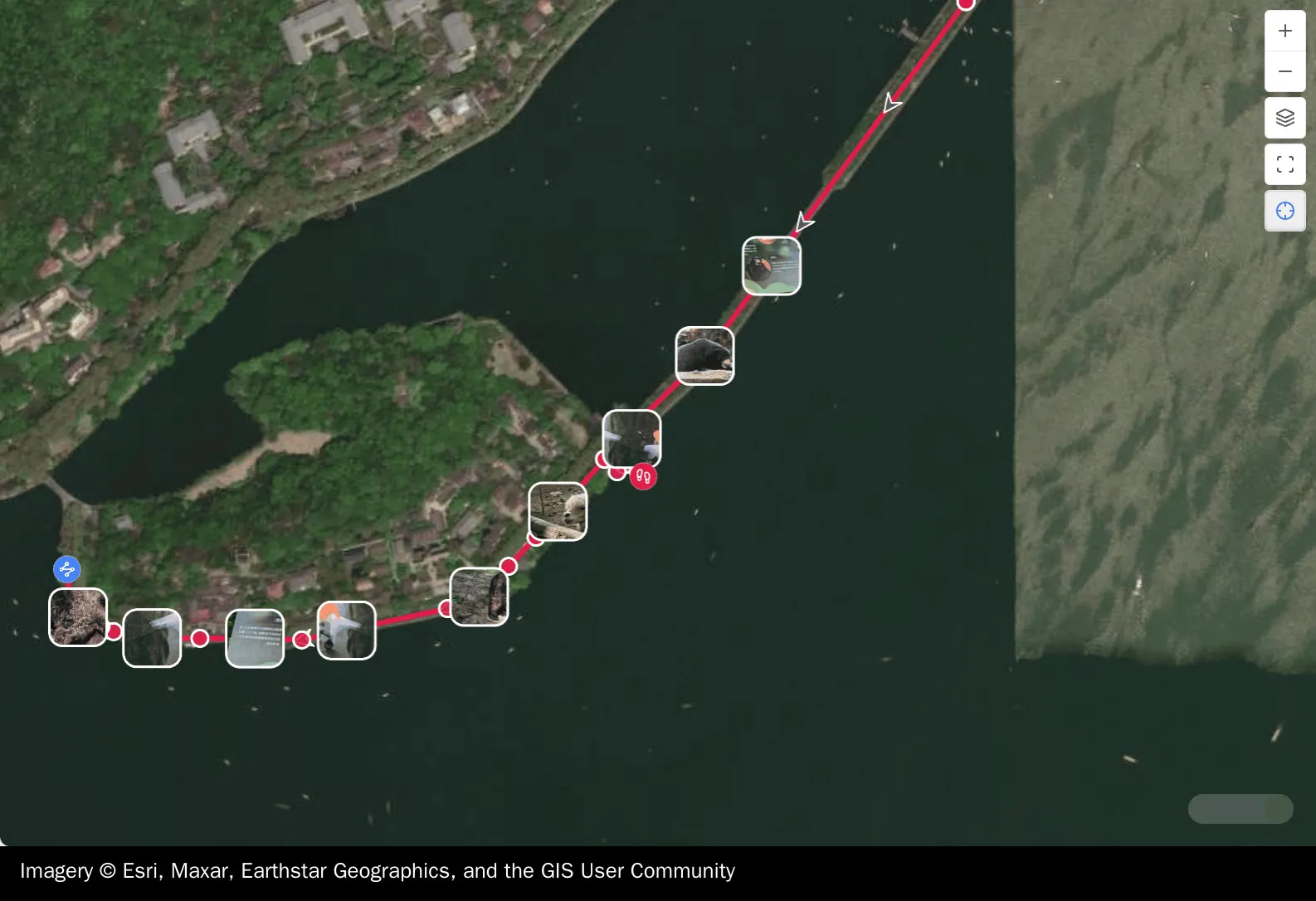

Zoomed out, thumbnails that would collide thin to a steady few instead of piling into an unreadable stack; every mapped photo keeps its dot. Zoom in and the thumbnails that fit come back. Show photos and Show photo thumbnails turn the two layers off independently.
Open a photo or its note
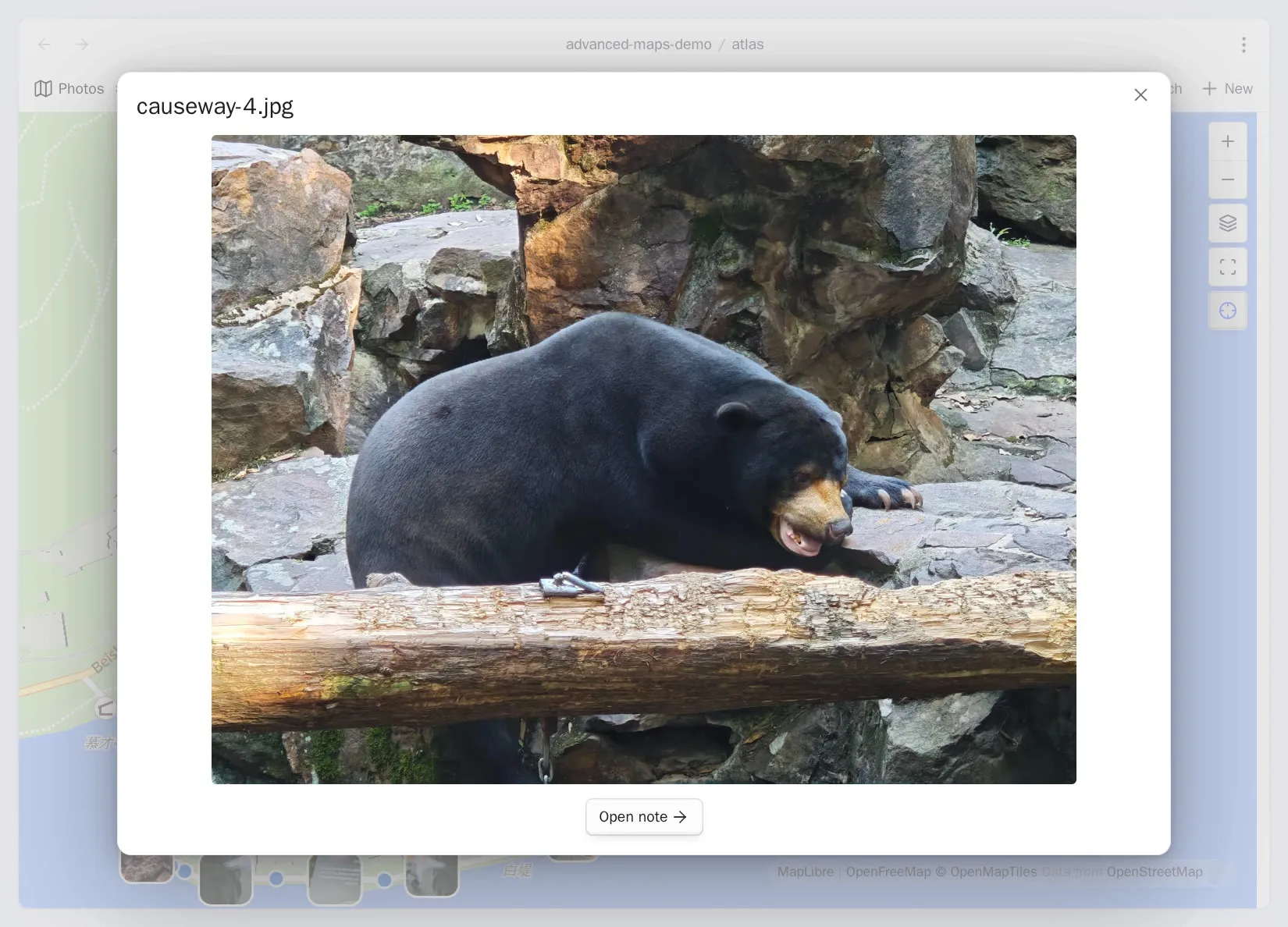
Section titled “Open a photo or its note”Hover a photo and its owning note appears in a popup, with the photo previewed inside it, so you can tell which dot is which on a crowded map without opening anything. Click to open the photo at full size over the map, with an Open note row below it. Ctrl/Cmd-click opens the image file in a new tab.
On a phone a tap goes straight to the full-size photo, so the preview popup is a step you do not get. The way to the note is still there: Open note is inside the photo you just opened.
Set coordinates from a photo reads the same GPS tag into the current note’s
coords property.
Photo index and file reads
Section titled “Photo index and file reads”A large album places faster the next time you open it, because photos that have not changed are not read again.
Clear the photo index discards what was saved. Maps keep working and the metadata is read again as needed. Your photo files are never modified.